
“Civilization in Shanxi-Chinese+Water Conservancy Engineering” Online Camp
“晋见文明”——“中文+水利工程”汉语桥线上团组
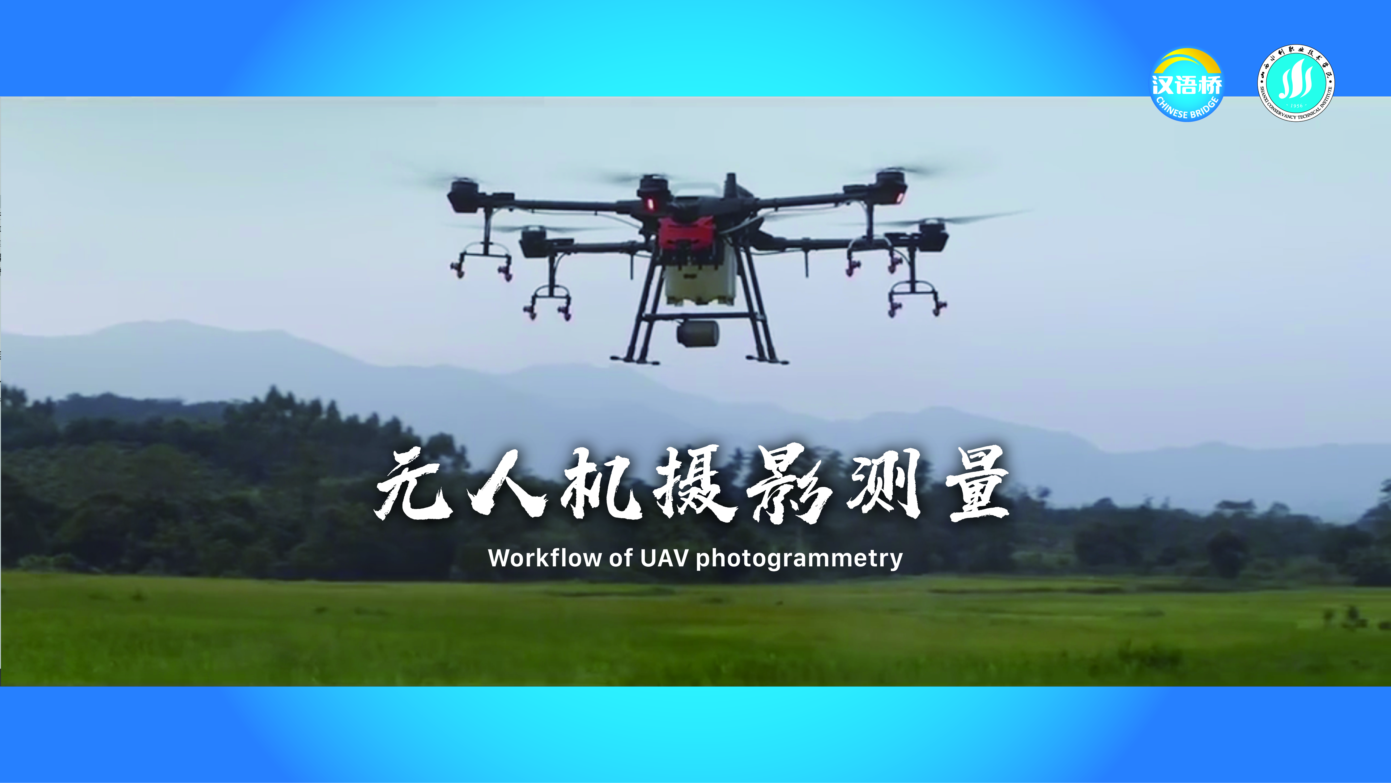
Workflow of UAV photogrammetry
无人机摄影测量
Course Syllabus 课程章节
1This lesson uses DJI drones as an example to introduce the workflow of photogrammetry. UAV photogrammetry technology is a low-altitude aerial photography remote sensing system that uses UAV as the flight platform and uses high-resolution digital cameras, air and ground control systems and other equipment to realize track planning and monitoring, automatic shooting, acquisition, transmission and preprocessing of images. Industry application scenarios include basic surveying and mapping, spatial planning, natural resources, engineering surveying and mapping, etc. UAV surveying and mapping can efficiently build a real-world 3D model, intuitively reflect the geomorphology and building information, eliminate personnel from going deep into the survey area, obtain high-precision 2D data, protects personnel safety, and improve production efficiency.
本节课以大疆无人机为例,为大家介绍摄影测量的工作流程。无人机摄影测量技术是以无人机为飞行平台,利用高分辨率数码相机、空中和地面控制系统等设备,实现航迹规划与监控,影像的自动拍摄、获取、传输预处理等功能的低空航摄遥感系统。行业应用场景包括基础测绘、空间规划、自然资源、工程测绘等。无人机测绘可以高效构建实景三维模型,直观反映地貌与建筑信息,免除人员深入测区,获取高精度二三维数据,保护人员安全,提高生产效率。
General Courses 通用课程