
SAU CHINESE BRIDGE ELEGATION ONLINE PROGAM STUDY IN SAU , EXPERIENCE LIAONING
2022年沈阳航空航天大学“汉语桥”线上团组交流项目云游沈航・品味辽宁
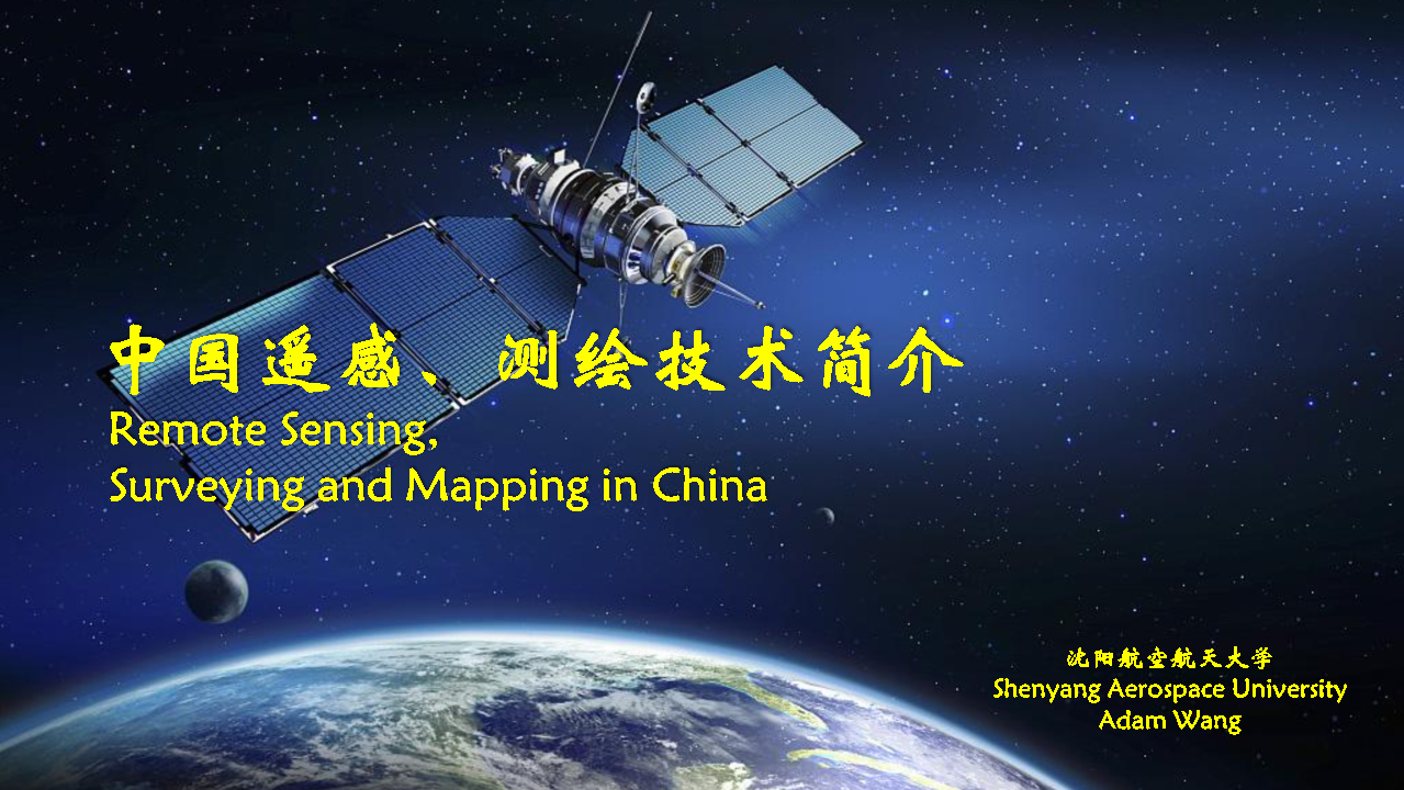
Remote Sensing, Surveying and Mapping in China
中国遥感,测绘结束
Course Syllabus 课程章节
1Remote sensing mapping technology is an important part of aerospace technology, and is closely related to our life. In this course, students will learn and understand remote sensing mapping technology from four aspects. The first part is the introduction of surveying and mapping and remote sensing, the second part is the development history of remote sensing technology, the second part is the practical application of remote sensing technology in China, and the last part is the future development of remote sensing surveying and mapping technology in China.
遥感测绘技术是航天航空技术中重要的组成部分,也与我们的生活息息相关。在本课程中,同学将从四个方面学习和了解遥感测绘技术。首先是测绘及遥感测绘的简介,其次是遥感技术的发展历史,然后是中国的遥感测绘技术的实际应用,最后将学习到中国遥感测绘技术的未来发展。
General Courses 通用课程